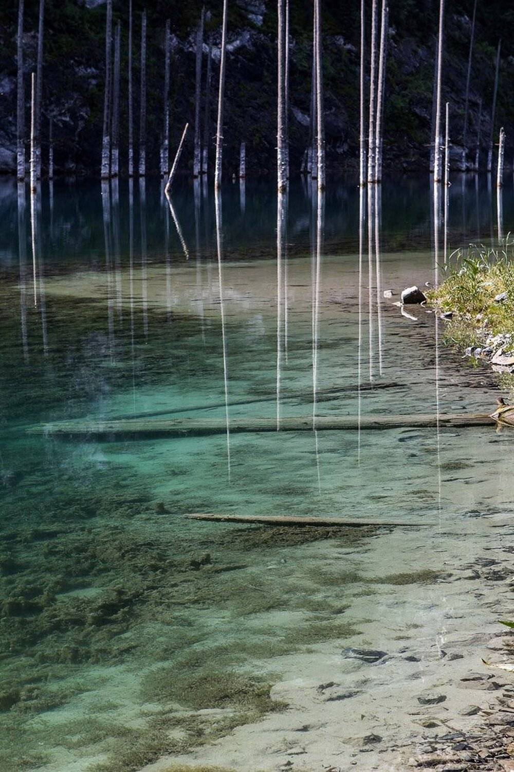
озеро Каинды

Сергей Терехов

История: Озеро образовалось в результате землетрясения в 1910 году. В 1980-е годы площадь озера уменьшилась после прохождения селевого паводка.
Описание: Форель водится в речке, ниже озера. Летом средняя температура воздуха доходит до отметки +23 градуса, а воды +6. Озеро находится среди хвойного леса на высоте 2 000 метров над уровнем моря в одном из ущелий Кунгей Алатау. Длина озера около 400 метров. Глубина его почти 30 метров. Озеро окружено осыпными каменистыми склонами и крутыми скалами. Выше озера — скальный тупик.
В переводе с казахского «Каинды» означает «изобилующее березами». Озеро назвали Каинды из-за большой березовой рощи, которая расположена в пяти километрах от него.
География: Казахстан, Тянь-Шань, хребет Кунгей Алатау.
uploaded 26 июл, 2013   Copyright by Сергей Терехов
0

0

0

! Comments disabled indefinitely, due to the unstable situation in the world and inciting conflicts in the comments
35PHOTO Mobile App
Upload photos to the site directly from the mobile application. Like, subscribe to other participants, leave comments. The ability to watch those who like you, as well as the ability to upload works to the application for participants who have not passed moderation.
Android app on Google Play


Like the picture?

Write a comment!

To do this, sign in:

 
CATALOGUE 9TH 35AWARDS
BEST PHOTOS AND PHOTOGRAPHERS
The catalog contains more than 1500 photos from 25 nominations from more than 1000 authors of the 9th 35AWARDS
More

Subscribe and get the best work 35PHOTO 1 time per week

You can always opt out of receiving the subscription one-click
Subscribe Now!     OR     Best in Telegram

Select language:
en   ru
Send message to administration
support@35photo.pro - on cooperation issues