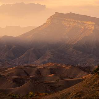
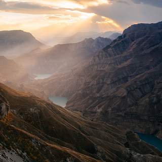
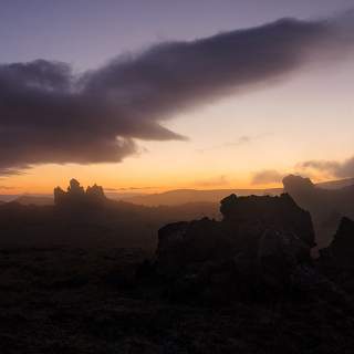
Домбайская поляна расположена на высоте 1650 м над уровнем моря. Её образуют устья реки Аманауза и двух её притоков – Алибека и Домбай-Ёльгена.
Горы обрамляют Домбайскую поляну сплошной стеной. На востоке это Буу-Ёльген (Убитый олень), на юго-востоке – Домбай-Ёльген, высочайшая вершина Западного Кавказа (4048 м), и Птыш. На юге – массив Джугутурлу-Чат (Лежбище туров), на юго-западе и западе – Аманауз-Баши, на востоке — гордый Эрцог и Сулахат. Конечные точки хребтов Семёнов-Баши и Мусса-Ачитара, являются популярнейшими «кругозорами». Внизу можно разглядеть посёлок Домбай, а чуть выше 2 и 3 станции канатной дороги (2265м и 2500м соответственно).
uploaded 03 feb, 2009 Copyright by Kaiser Sozo

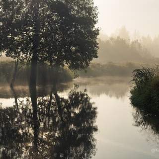
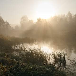
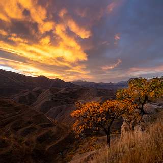


вот на этом самом месте мне снова захотелось попасть в горы не как эскурсант, а забуриться в глубь на недельку или две ;)
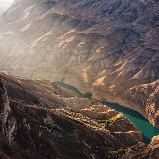
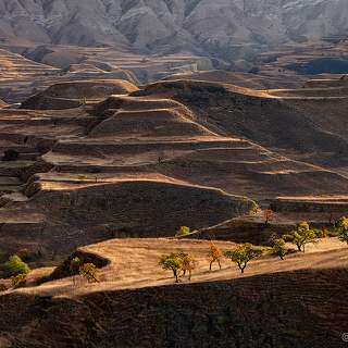
как вы их разглядели-то на таком размере?